MD Talha
B.Sc. (Honours), M.Sc. (Thesis)

MD Talha
A Bit About Me
Hello! My name is MD Talha. I have completed my master's degree from the Department of Geography and Environment, Jagannath University. Throughout my academic journey, I have developed a strong passion for research, which has led me to actively engage in multiple research projects. My first article was published in September 2024, and since then, I have successfully published several journal articles in Q1 and Q2 international journals, along with a book chapter in a reputed book series.
I am particularly interested in exploring environmental and urban issues through research, leveraging my expertise in GIS, disaster management, and urban climate studies. My dedication to academic excellence and research has not only strengthened my analytical and problem-solving skills but also deepened my understanding of real-world challenges.
Currently, I am seeking an academic role that aligns with my research interests and allows me to contribute meaningfully to knowledge generation. I am confident that my research expertise, commitment, and innovative approach can add significant value to any institution I become a part of. My goal is to establish a strong academic and research presence, working collaboratively to drive impactful studies and solutions.
I am particularly interested in exploring environmental and urban issues through research, leveraging my expertise in GIS, disaster management, and urban climate studies. My dedication to academic excellence and research has not only strengthened my analytical and problem-solving skills but also deepened my understanding of real-world challenges.
Currently, I am seeking an academic role that aligns with my research interests and allows me to contribute meaningfully to knowledge generation. I am confident that my research expertise, commitment, and innovative approach can add significant value to any institution I become a part of. My goal is to establish a strong academic and research presence, working collaboratively to drive impactful studies and solutions.
Explore some of my fun projects
AHP Weight Calculator
An interactive and user-friendly web application designed to simplify the calculation of Analytic Hierarchy Process (AHP) weights. It helps researchers and geospatial analysts seamlessly perform multicriteria decision analysis (MCDA) by evaluating the consistency of pairwise comparison matrices and generating accurate criteria weights for spatial modeling.
View ProjectIndexEngine
A streamlined web application tailored for advanced geospatial indexing and environmental data processing. IndexEngine empowers users to rapidly compute various spectral indices from satellite imagery, facilitating efficient monitoring of land cover changes, urban heat islands (UHI), and ecological health without requiring heavy desktop GIS software.
View ProjectResearch Interests
 GIS
GIS
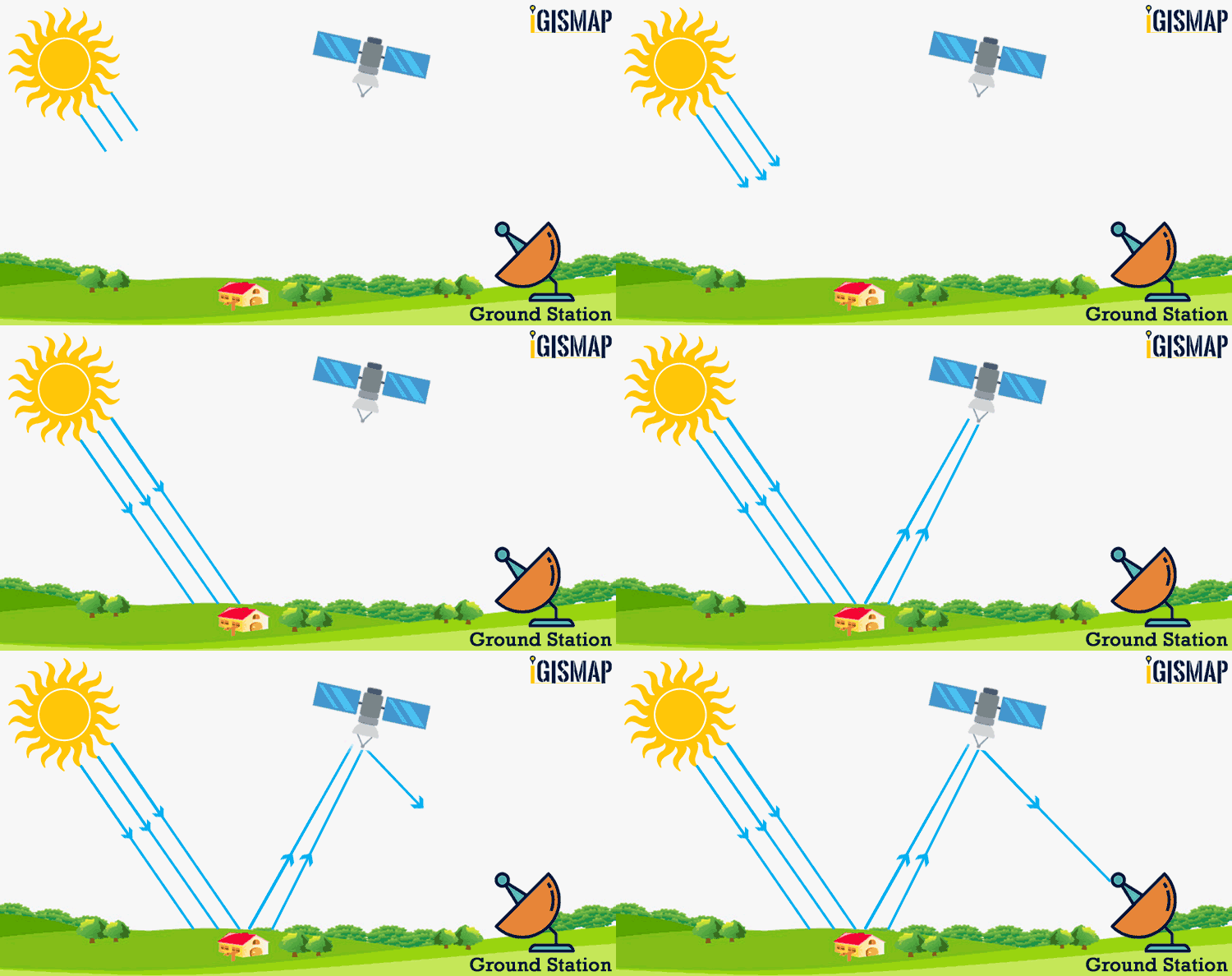 Remote Sensing
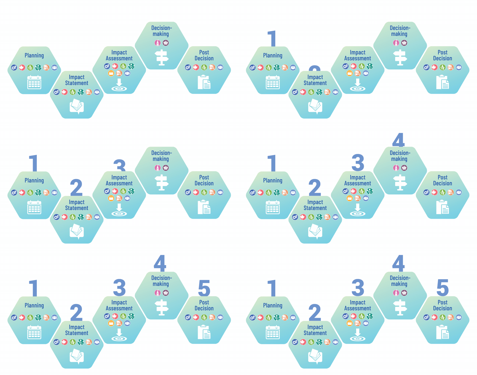 Environmental Impact Assessment
 Urban Climate
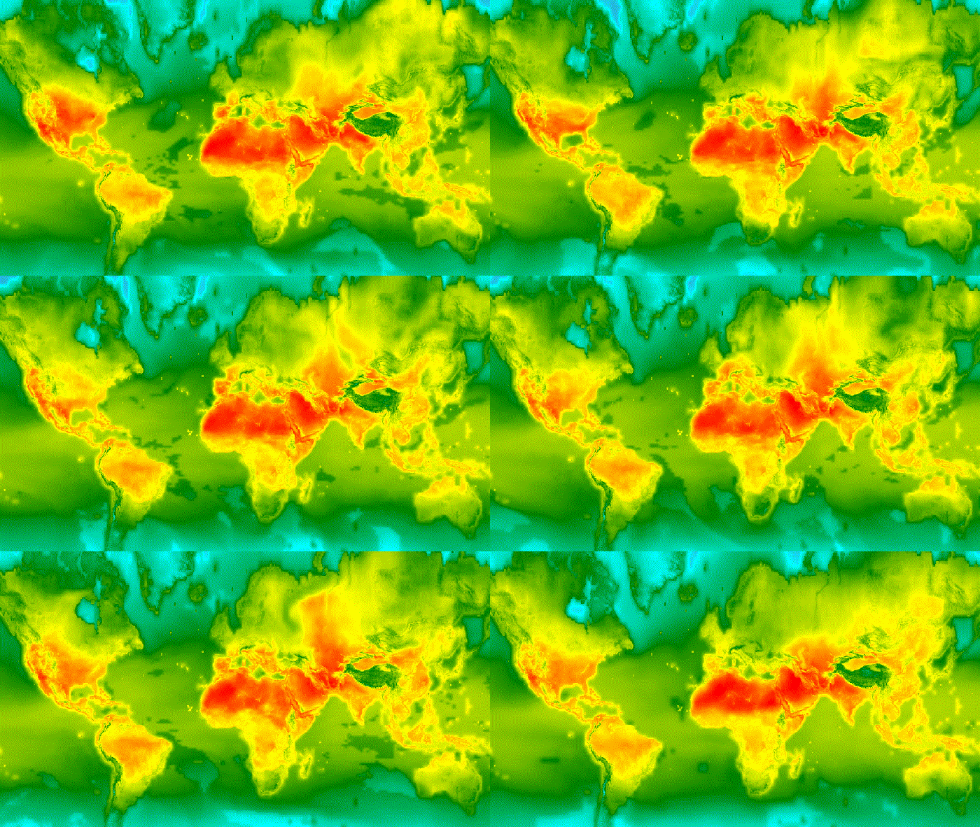 Land Surface Temperature
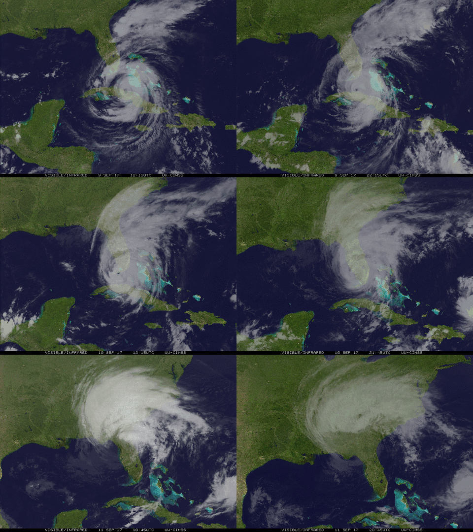 Disaster Management
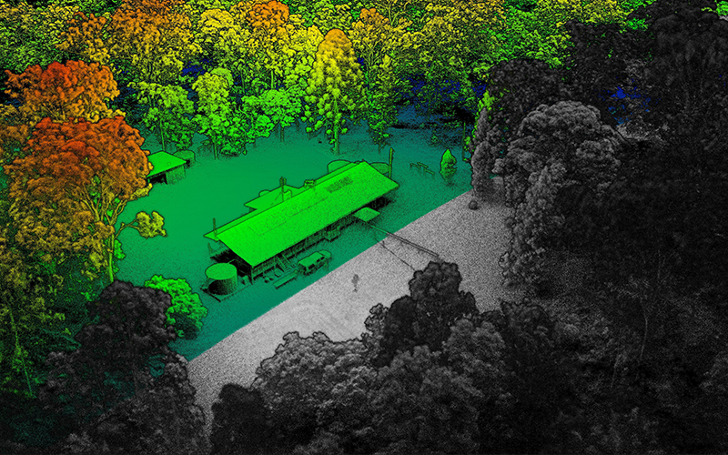 Ecological Monitoring